01 / 04Surveying
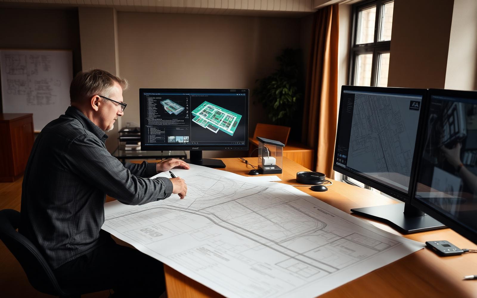
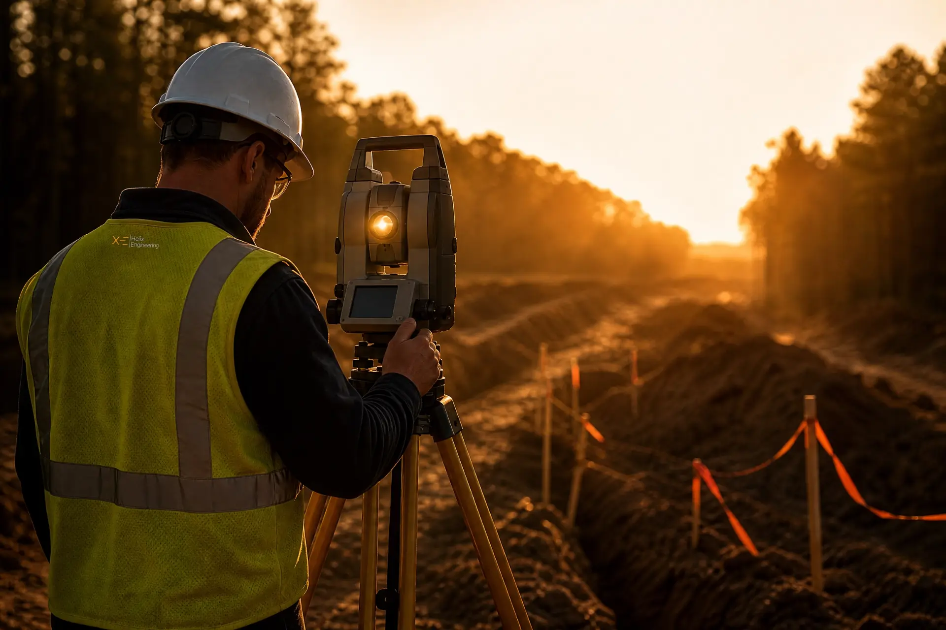
Land survey and field data collection is the foundation of a successful project. Before anything is built, the site has to be understood — every factor and detail that will shape construction, documented with certainty.

Helix Engineering innovates solutions in engineering, design and surveying for public utilities, commercial construction and real estate law firms throughout Illinois and the Midwest — and supports large engineering firms as specialized collaborative partners.
Engineers Dedicated to Every Phase of Your Project
Serving Illinois and Surrounding States
Trusted by utility owners, general contractors, and real estate counsel throughout the region
// Capabilities
Discover how we contribute to your project in key ways at pivotal moments. Keep scrolling — each service moves through in turn.
01 / 04Land survey and field data collection is the foundation of a successful project. Before anything is built, the site has to be understood — every factor and detail that will shape construction, documented with certainty.
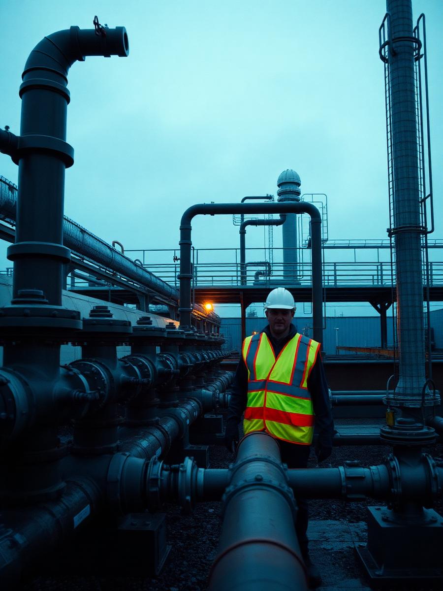
02 / 04Professional engineering design is an iterative, interactive process — precise, strategic solutions shaped to your project's budget, resources, and timeline. We design for what gets built, not what looks good on paper.
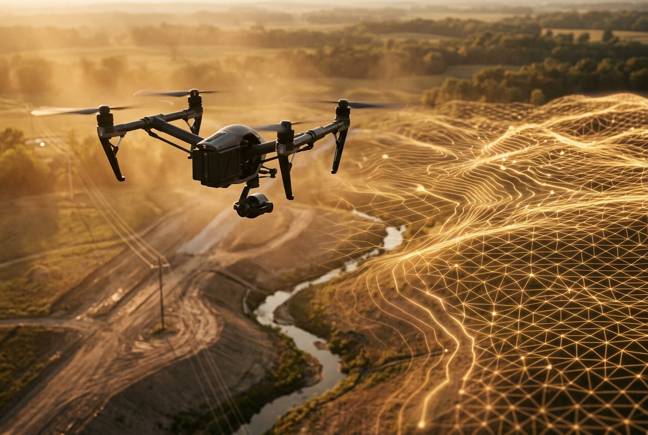
03 / 04Drones let us reach what crews can't safely or efficiently access — hostile environments, live traffic corridors, and obscured terrain. Faster capture, fewer exposures, and richer data from the first flight.
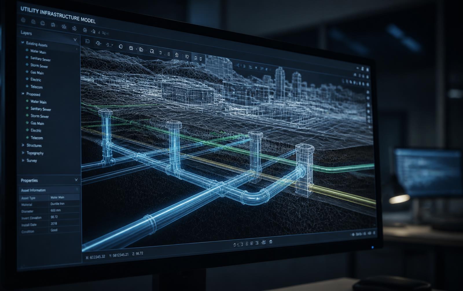
04 / 04Virtual Design & Construction integrates digital models into project management, sharpening planning, design, collaboration, and decision-making. Problems get solved on screen instead of in the field.
// Clients
What matters depends on who you are

Route surveys, easement documentation, and design support for water, sewer, gas, and electric infrastructure — to the standards your regulators expect.

Site surveys, layout, and VDC coordination that keep crews building instead of waiting on answers.

ALTA/NSPS surveys, boundary determinations, and easement analysis prepared to withstand scrutiny.

Specialized capacity for large firms: survey crews, UAV capture, and VDC modeling that extend your bench.
// Process
Everyprojectmovesthroughfourdeliberatephases.Nohand-waving,nosurprisescope,nowaitingonacallbackthatnevercomes.Youalwaysknowwheretheworkstandsandwhatarrivesnext.
Scope
Welistenfirst.What'sthedecisionthisdatahastosupport,andwhenisitdue?
Capture
Crewsandaircraftmobilize.Fielddatacollectedonce,correctly.
Model
Rawcapturebecomessurfaces,basemaps,andcoordinatedmodelsyourteamcanbuildfrom.
Deliver
Documented,stamped,andwalkedthrough—sonothinggetslostinthehandoff.
// Trusted By


Send us the parcel, the schedule, and the question you need answered. We'll tell you straight what it takes.